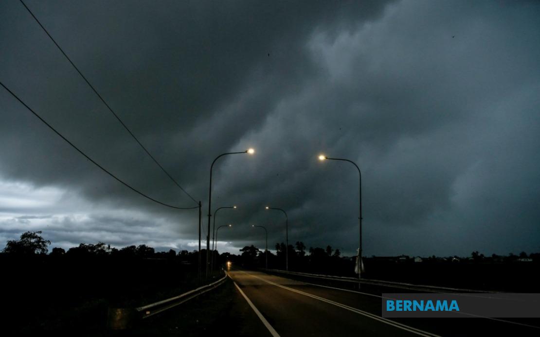
Residents across a broad swathe of Malaysia face hazardous weather conditions tonight, with the Malaysian Meteorological Department issuing an alert for thunderstorms, heavy rainfall, and strong winds that will persist until midnight. The warning, released by MetMalaysia on July 7, encompasses multiple regions spanning both Peninsular Malaysia and the East Malaysian states, signalling the arrival of an unsettled atmospheric pattern that could trigger flash flooding and transport disruptions.
The entire state of Melaka stands under the weather alert, making it one of the more comprehensively affected regions. Along the east coast, the Terengganu districts of Setiu, Kuala Nerus, Hulu Terengganu, Kuala Terengganu, Marang, Dungun, and Kemaman face the brunt of the forecast severe conditions. This concentration of risk along Terengganu's coastline reflects the typical monsoonal patterns that frequently bring intense precipitation to this region during this period of the year.
Inland areas also feature prominently in MetMalaysia's alert. The Pahang districts of Jerantut and Bera will experience similar thunderstorm activity, while Negeri Sembilan's Jempol and Tampin municipalities are equally vulnerable. The southern Johor region bears particular exposure, with six districts—Tangkak, Segamat, Muar, Batu Pahat, Kluang, and Pontian—all flagged for severe weather. This widespread coverage across the southern peninsula underscores the scale of the atmospheric disturbance affecting the region.
Sarawak's vulnerability to the incoming system is concentrated in multiple localities across different administrative divisions. The Sarikei and Sibu districts, lying along the central coast, form one zone of concern. Limbang in the north, together with Song district in the Kapit Division, represent another cluster at risk. The Betong Division, encompassing Pusa, Saratok, and Kabong areas in the state's southwestern reaches, rounds out Sarawak's exposure to tonight's severe weather.
Sabah's affected zones stretch across both interior and coastal territories. Sipitang in the Interior Division faces the system's impact alongside several districts concentrated in the Tawau Division on the southeastern coast—specifically Sandakan, Tawau itself, Kunak, and Lahad Datu. The concentration in Sabah's eastern sector suggests the weather system's spatial orientation and movement trajectory across the broader region.
Thunderstorms of this nature, particularly when accompanied by heavy downpours and strong gusts, carry significant implications for public safety and daily operations across affected areas. Flash flooding represents a primary concern, especially in low-lying settlements, riverside communities, and urban drainage-challenged zones. Road users face hazardous conditions with reduced visibility and slippery surfaces, while motorists should exercise heightened caution on highways connecting the warned regions.
The timing of the alert—with conditions expected to persist until midnight—means evening commuters and night-time travellers will encounter the worst of the system. Schools, businesses, and public services in affected districts may face disruptions as residents remain sheltered indoors during the peak intensity hours. Power disruptions from lightning strikes remain an ever-present risk during such widespread thunderstorm activity.
For residents in the affected localities, preparedness measures should include securing loose outdoor items, avoiding unnecessary outdoor activities during peak storm hours, and monitoring local authorities' advisories. Those in flood-prone areas should remain vigilant and ready to evacuate if water levels rise unexpectedly. The simultaneous warning across such geographically dispersed regions—from Melaka and Johor in the south to Limbang in northern Sarawak—underscores the broad atmospheric system driving this severe weather outbreak.
MetMalaysia's continued monitoring of atmospheric conditions will likely produce updates should the situation intensify or extend beyond the midnight deadline. Residents and authorities in warned districts are advised to remain alert and take appropriate precautions throughout the evening hours. Such weather alerts, issued with sufficient advance notice, enable communities to prepare and minimise potential damage and disruption from severe thunderstorm activity.

