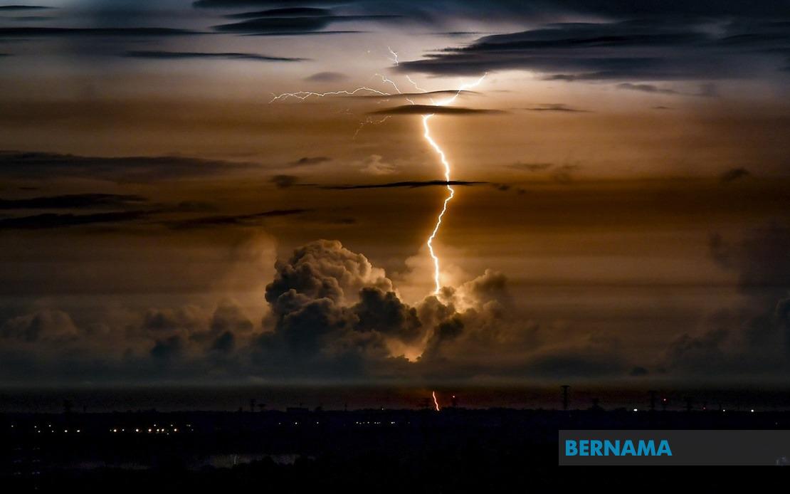
The Malaysian Meteorological Department has issued an urgent weather alert for severe thunderstorms, heavy precipitation, and gusty winds expected to sweep across seven states during the remainder of Wednesday, with the warning remaining in effect until 9 pm. The forecast carries particular significance for residents and commuters in affected regions, necessitating heightened awareness and preparedness for flash flooding, disrupted transportation, and potential safety hazards from strong winds and lightning.
The department identified four districts within Perak as primary concern zones: Bagan Datuk, Muallim, Hilir Perak, and Batang Padang. These areas, spanning from coastal lowlands to inland elevated regions, face elevated risk from the anticipated atmospheric disturbance. The northern Perak districts, particularly those along major river systems and in populated centers, should expect significant rainfall accumulation and associated drainage challenges.
Terengganu and Pahang, both east coast states, fall within the warning perimeter. These regions frequently experience intense monsoon-influenced weather systems, and the current alert aligns with seasonal patterns that drive moisture-laden winds toward the peninsula's eastern seaboard. Residents in these states should exercise caution regarding outdoor activities and monitor local drainage conditions, especially in flood-prone communities.
Johor's Mersing district, located on the east coast, enters the warning zone despite not encompassing the entire state. Mersing's coastal and near-coastal geography makes it susceptible to storm surge and intense rainfall, creating compounded flooding risks when heavy precipitation coincides with high tidal periods. Fishing communities and maritime operators in the vicinity should defer operations pending atmospheric stabilization.
The central Selangor districts of Sepang, Klang, Sabak Bernam, Kuala Selangor, and Kuala Langat receive specific mention. These localities include Malaysia's economic heartland and major transportation corridors. The Klang Valley's extensive urban infrastructure, coupled with historical flood vulnerability in lower-lying areas, necessitates proactive traffic management and public alert systems. Commuters should anticipate potential delays on major expressways and roads crossing flood-prone zones.
Negeri Sembilan's Rembau district and Port Dickson feature within the warning scope. Port Dickson, serving as a significant coastal town and port facility, faces particular vulnerability to atmospheric and marine hazards during severe weather episodes. Industrial and commercial operations in these areas may experience interruptions, and maritime traffic could face restrictions depending on wind intensity.
Melaka's Alor Gajah and Melaka Tengah districts round out the affected zone. These areas encompass both rural and urban landscapes, with Melaka Tengah containing historical and densely populated sections where drainage infrastructure faces seasonal strain. The state's proximity to the Straits of Melaka means weather systems can intensify rapidly as they cross the water body.
The convergence of warnings across such a vast geographic span indicates a significant atmospheric system, likely driven by inter-monsoonal transition effects or tropical disturbance propagation across the peninsula. While individual districts have experienced isolated severe weather episodes, simultaneous warnings across seven states suggest organized convective activity rather than scattered thunderstorms. This distinction carries implications for intensity, duration, and potential for widespread disruption.
Public authorities across affected states should activate emergency response protocols, ensuring drainage systems operate at capacity and rescue teams remain mobilized. The evening time window means peak commuter traffic will coincide with worsening conditions, potentially creating hazardous road situations. Visibility reduction from heavy precipitation, combined with hydroplaning risks and lightning hazards, demands driver alertness and speed adjustment.
Residents should secure loose outdoor items susceptible to wind damage, avoid electrical equipment during lightning activity, and remain indoors during peak storm intensity. Coastal residents and those in flood-prone areas should monitor water levels and evacuation procedures, as some communities experience rapid inundation during intense rainfall episodes. Elderly individuals, children, and those with medical vulnerabilities warrant particular attention regarding shelter adequacy and access to emergency services.
The agricultural sector faces near-term considerations regarding livestock protection and crop exposure. Rubber, palm oil, and other plantation crops susceptible to wind damage require monitoring, and farmers should prepare mitigation measures where feasible. Commercial operations dependent on evening deliveries or outdoor activities should assess postponement options.
Utilities providers, including electricity and water authorities, should prepare for potential service disruptions caused by lightning strikes, fallen vegetation affecting infrastructure, or flooding of equipment locations. Communication channels for reporting outages warrant activation, and contingency supplies should be stockpiled for areas with historical service vulnerability.
Beyond the immediate 9 pm deadline, residents should monitor MetMalaysia's subsequent forecasts, as atmospheric systems often persist longer than initial projections. The transition from severe thunderstorm activity to post-storm conditions—when wind speeds may intensify further—requires continued vigilance. Regional coordination between state governments and federal agencies ensures coherent response and resource allocation across affected territories.

