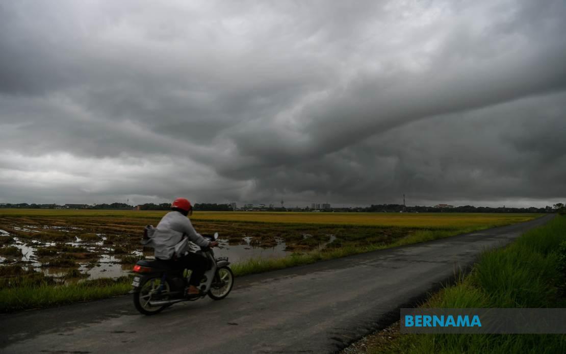
The Malaysian Meteorological Department has released an alert for intense thunderstorms, heavy rainfall, and powerful wind gusts affecting a broad swathe of the nation through 6 pm today. The forecasted adverse conditions will touch multiple districts spanning both Peninsular Malaysia and the East Malaysian states, prompting residents and commuters to exercise caution during the afternoon hours.
Peninsular Malaysia faces the most extensive disruption, with the northern region particularly vulnerable. In Kedah, MetMalaysia has flagged Kota Setar, Yan, Pendang, Kuala Muda, and Sik as zones of concern. The warning extends southward into Perak, where the municipalities of Manjung and Perak Tengah are expected to experience severe weather, while Kemaman in Terengganu is similarly threatened. These areas, covering diverse terrain from coastal belts to inland districts, represent a significant portion of the northern and central peninsular corridor.
The warning zone encompasses several major population centres and economic hubs. Kuantan in Pahang, a critical port city and industrial zone, falls within the alert area, as does Hulu Langat in Selangor, which encompasses suburban communities east of the Klang Valley. Both districts serve as residential and commercial extensions of greater Kuala Lumpur and surrounding urban agglomerations. In Negeri Sembilan, the alert covers Jelebu and Seremban, the latter being the state capital, indicating that administrative and business centres are not exempt from the forecast disruption.
East Malaysia faces similarly challenging weather patterns. Sarawak's affected zones include Sarikei in the Sibu division and both Mukah and its subdivisions of Tanjung Manis and Daro. These regions, located in the state's central and coastal areas, serve as important agricultural and resource extraction zones. Sabah experiences more geographically dispersed impacts, with three distinct regional divisions in the warning area. The Interior Division encompasses Keningau and Tambunan, the West Coast Division includes Papar and Penampang, and the eastern Sandakan district extends the warning to Kinabatangan, illustrating the breadth of the expected weather system's reach across the state.
The convergence of multiple meteorological factors has prompted this coordinated regional alert. Thunderstorms of this scale typically develop when warm, moisture-laden air masses collide with atmospheric instability, a phenomenon common during Malaysia's monsoon seasons and inter-monsoon periods. The combination of thunderstorm activity, heavy precipitation, and strong winds creates compound hazards that can rapidly degrade conditions for both land and sea-based activities. Flash flooding becomes a particular concern in low-lying areas and regions with inadequate drainage infrastructure, while wind gusts pose dangers to structures, vegetation, and outdoor operations.
The timing of this alert carries operational significance for Malaysia's transportation and logistics sectors. Afternoon commuter movements, particularly between 4 pm and 6 pm, may coincide with the peak intensity of the warned weather system. Motorists on major routes connecting the affected districts should anticipate reduced visibility, slippery road surfaces, and potential flooding of underpass areas. Maritime operations in coastal zones of Sarawak and Sabah may face operational constraints, while activities in the interior divisions of Sabah may be disrupted by localized flooding and wind damage.
Public safety agencies typically activate enhanced alert postures during such warnings. Fire and rescue services position resources for rapid response to weather-related incidents, while traffic authorities may implement temporary restrictions on vulnerable routes. Local authorities in the affected districts usually issue public advisories recommending that residents secure loose items, remain indoors if possible, and avoid travel during peak weather intensity. Schools and public institutions may adjust dismissal schedules or implement contingency protocols to ensure student and staff safety.
The Malaysian Meteorological Department's forecasting capability represents a critical infrastructure component for national disaster risk reduction. By issuing time-specific and geographically-precise alerts, the agency enables stakeholders across government, private enterprise, and civil society to implement protective measures proportionate to actual risk. The delineation of specific municipalities and divisions, rather than broader state-level warnings, reflects advancing meteorological sophistication and granular understanding of local weather patterns. This precision allows resources to be concentrated where most needed rather than dispersed across unnecessarily broad areas.
Residents and businesses across the eight warned states should treat this alert as actionable guidance rather than mere informational notice. Taking precautionary measures during the warning window—such as securing outdoor equipment, avoiding unnecessary outdoor exposure, and monitoring local updates—can substantially reduce vulnerability to weather-related harm. Those with outdoor commitments scheduled for the afternoon should consider rescheduling or relocating activities to sheltered environments. The six-hour warning window provides sufficient lead time for most contingency measures to be implemented, yet the urgency of the timeframe underscores the system's genuine concern about imminent severe conditions.