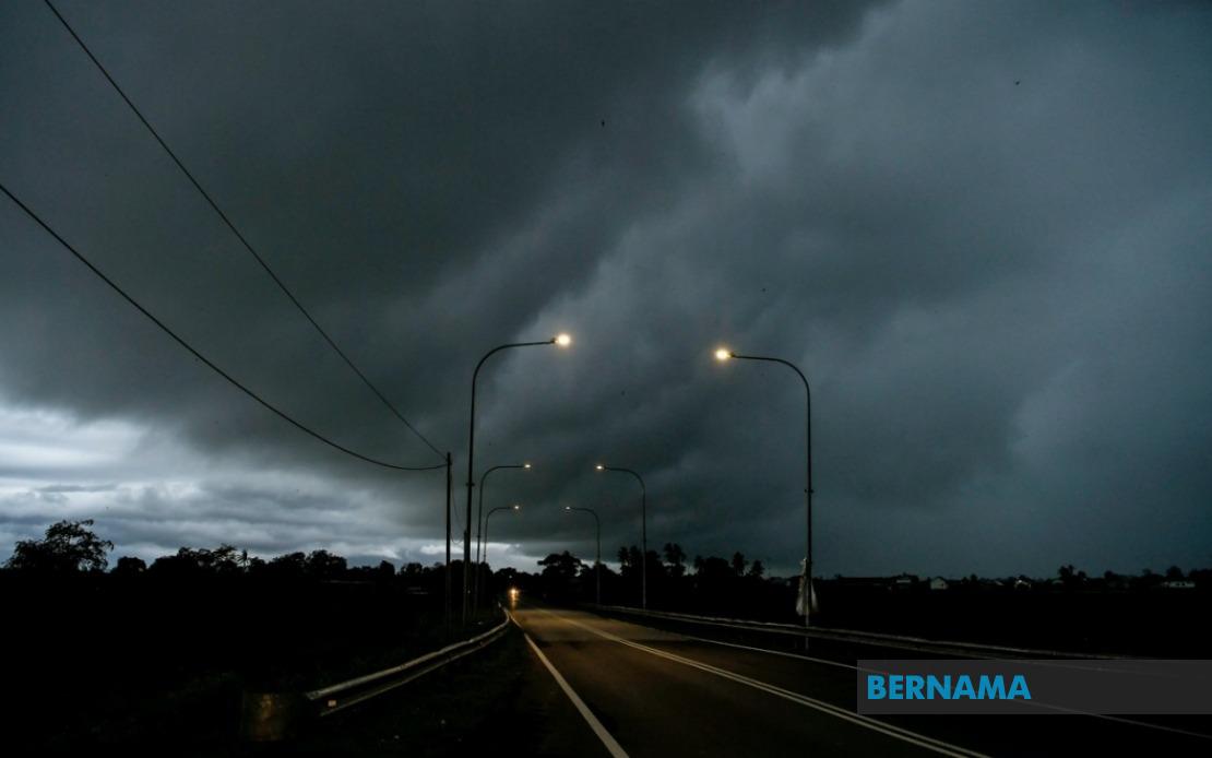
The Malaysian Meteorological Department has activated weather warnings across a significant swathe of the country, cautioning residents and commuters in nine states alongside the federal territories of Kuala Lumpur and Putrajaya to prepare for severe atmospheric conditions expected to persist until 6 pm. The alert encompasses thunderstorms capable of producing torrential rainfall and potentially damaging wind gusts that could affect transportation, outdoor activities and daily routines across the peninsula and East Malaysia.
In peninsular Malaysia, the warning stretches across the western corridor through Perak's interior districts including Hulu Perak, Kuala Kangsar, Kinta, Kampar, Hilir Perak, Batang Padang and Muallim. The alert also covers the east coast states of Kelantan, Terengganu and Pahang, where the combination of seasonal monsoon patterns and local atmospheric conditions creates heightened storm potential. These regions, which experience frequent weather instability during certain months, face particular vulnerability to rapid cloud formation and intense precipitation events that can lead to localised flooding and hazardous road conditions.
The central corridor is similarly affected, with Selangor experiencing alerts in multiple districts spanning from the northern regions of Sabak Bernam and Kuala Selangor through to the southern areas of Hulu Langat and Sepang. This broad coverage reflects the unsettled weather systems currently dominating the region, affecting both urban centres and rural communities. Johor and Negeri Sembilan also fall within the warning zone, indicating that southern and central Peninsular Malaysia faces coordinated atmospheric disturbances.
In Sarawak, the Meteorological Department has extended its alert to encompass both urban and remote areas. Kuching, the state capital, alongside Sibu, Bintulu and Miri district towns face potential storms, while surrounding areas including Sarikei, Mukah, Kapit and Limbang are similarly placed under warning. This comprehensive coverage of Sarawak's varied topography, from coastal lowlands to inland plateau regions, underscores the widespread nature of the atmospheric system affecting East Malaysia.
Sabah residents across three distinct geographical zones have been placed on alert. The interior lowlands including Sipitang, Tenom, Beaufort, Nabawan, Keningau and Tambunan may experience severe weather, while the more densely populated west coast districts of Papar, Penampang, Kota Kinabalu, Tuaran and Ranau—home to hundreds of thousands of people—face similar risks. The Sandakan division in the east, encompassing Tongod, Telupid, Beluran and Sandakan town itself, completes the state's coverage under the weather warning.
Thunderstorm warnings of this geographical scope carry significant implications for transport networks, with heavy rainfall potentially affecting visibility on major highways and causing temporary disruptions to air and sea services. Drivers traversing trunk roads through affected districts should exercise heightened caution, whilst public transport operators and aviation authorities typically implement precautionary measures during such alerts. The timing of the warning—extending through the afternoon until early evening—coincides with evening rush hour in major urban centres, potentially creating compounded travel challenges.
For residents in affected areas, the alert recommends avoiding outdoor activities during the warning period, securing loose items that could be caught by strong winds, and remaining vigilant regarding flash flood risks in low-lying neighbourhoods and near drainage systems. The combination of heavy rain and powerful winds poses particular hazards near construction sites, whilst utilities companies often increase monitoring of electrical infrastructure during thunderstorm events to manage potential outages.
The breadth of this warning, stretching from Johor in the far south to Miri in northern Sarawak, and encompassing both peninsula and Borneo territories, indicates a substantial atmospheric disturbance system affecting the entire Malaysian region simultaneously. Such coordinated multi-state warnings are typically issued when large-scale weather systems override localised variations, suggesting that the current conditions represent more than isolated thunderstorm activity. The Meteorological Department's decision to specify exact district-level coverage reflects their operational commitment to providing precise geographical guidance enabling targeted preparedness measures.
The 6 pm deadline for this alert does not necessarily mean conditions will improve immediately thereafter; the department may extend or modify the warning should weather patterns persist or intensify beyond the projected timeframe. Residents are advised to monitor official meteorological updates throughout the afternoon, particularly those in areas prone to waterlogging or in elevated regions susceptible to wind damage. Emergency services across all affected states have likely been placed on heightened readiness status to respond to weather-related incidents including accidents, flooding and structural damage.

