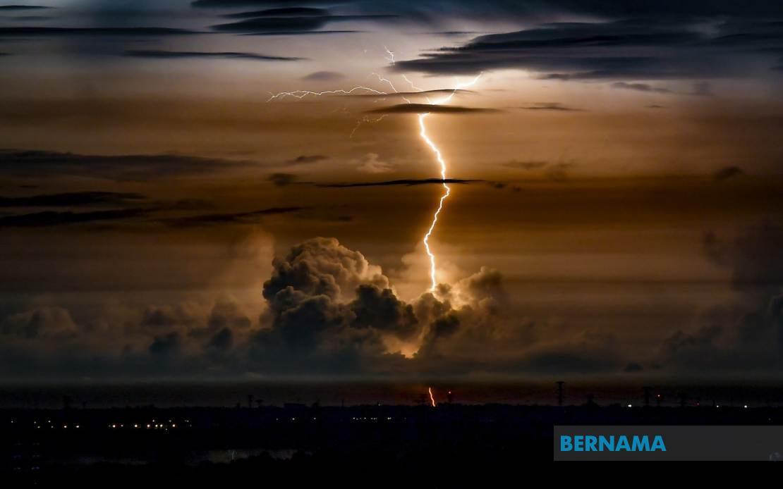
Residents across Perlis, Kedah, Sarawak and Sabah have been put on alert as the Malaysian Meteorological Department forecasts intense weather conditions capable of disrupting daily activities and posing safety risks. The warning, released at 8.30 pm, encompasses a broad geographical band stretching from the country's northern peninsula to the eastern states on Borneo island, signalling a significant weather event that warrants public awareness and preparedness.
The northern state of Perlis faces the most extensive impact, with the entire state positioned in the danger zone. Neighbouring Kedah is not uniformly affected, with the meteorological assessment focusing on specific districts where atmospheric conditions are deemed conducive to severe phenomena. The highlighted areas—Langkawi island, Kubang Pasu district and the state capital Kota Setar—represent population centres and tourism hotspots where disruptions could have broader economic and social consequences.
In Sarawak, the warning applies to multiple divisions scattered across the state's geography. The affected zones include Mukah division and its component areas of Dalat, Matu and Mukah itself; Kapit division encompassing Bukit Mabong and Belaga; the northern Miri division covering Bario and Marudi; and the southwestern division of Limbang. This distribution suggests that meteorological patterns are favouring destabilisation across much of the state rather than isolated pockets.
Sabah's interior and coastal regions similarly fall within the warning parameters. The Interior division's Sipitang and Tenom districts, located in the state's southwestern reaches, are expected to experience the severe conditions, as is the eastern Sandakan division and the Labuk & Sugut area. This geographic spread indicates that weather systems are affecting both inland and coastal terrain, suggesting a broader atmospheric disturbance rather than localised phenomena.
The specific hazards identified—thunderstorms coupled with heavy precipitation and forceful winds—represent a combination capable of triggering multiple secondary impacts. Thunderstorms in these regions can develop rapidly and intensify unexpectedly, creating dangerous conditions for outdoor activities, transportation and construction work. The accompanying heavy rainfall poses flooding risks, particularly in low-lying areas, riverine zones and urban drainage systems already taxed by monsoonal patterns. Strong winds can overturn structures, bring down vegetation and create flying debris hazards.
The temporal constraint of the warning—lasting until midnight—provides residents with a defined window to take protective measures. However, the brevity of the forecast period underscores the meteorological challenge of predicting severe weather with extended lead times, a perpetual difficulty in tropical climates characterised by rapid atmospheric changes. Communities accustomed to monsoonal patterns understand the volatile nature of such warnings and the importance of maintaining vigilance even during seemingly ordinary evenings.
For transportation networks, particularly in the affected districts, the warning carries operational implications. Drivers, boat operators and airline services would typically receive guidance to exercise heightened caution or reschedule activities where feasible. Visibility reduction from heavy rain, wind-induced instability of vehicles, and temporarily obscured road markers all contribute to elevated accident risks during such weather events.
Public infrastructure and utilities also warrant attention during such episodes. Power distribution systems, particularly in less densely populated areas where maintenance crews may face access challenges, can experience disruptions from fallen trees and wind-induced damage. Water supply systems might face contamination risks if flooding occurs, affecting populations in vulnerable areas lacking alternative water sources.
The Malaysian Meteorological Department's issuance of such warnings reflects the agency's ongoing mandate to provide timely meteorological guidance to support public safety and disaster preparedness. The specificity of the geographic zones mentioned indicates that MetMalaysia employed detailed atmospheric analysis and modelling to identify areas where conditions were most likely to produce severe phenomena, rather than issuing blanket warnings covering entire states unnecessarily.
For Malaysian disaster management authorities and state governments in the affected regions, such warnings represent critical intelligence supporting contingency planning and resource mobilisation. Emergency response teams might position themselves strategically, hospital facilities can prepare for weather-related injuries, and public information channels can be activated to disseminate safety guidance to vulnerable populations.
Regionally, such weather patterns are not uncommon during certain seasons, reflecting the broader meteorological dynamics of Southeast Asia's monsoonal climate system. However, the specific triggering factors for this particular episode—whether related to low-pressure systems, convergence zones or other atmospheric features—would be analysed by meteorologists seeking to improve forecast accuracy for future events.
The warning serves as a reminder of environmental precariousness in tropical zones and the importance of robust weather monitoring infrastructure. As climate patterns continue evolving, the frequency and intensity of severe weather episodes may shift, necessitating ongoing refinement of forecasting methodologies and public preparedness frameworks across the region.

