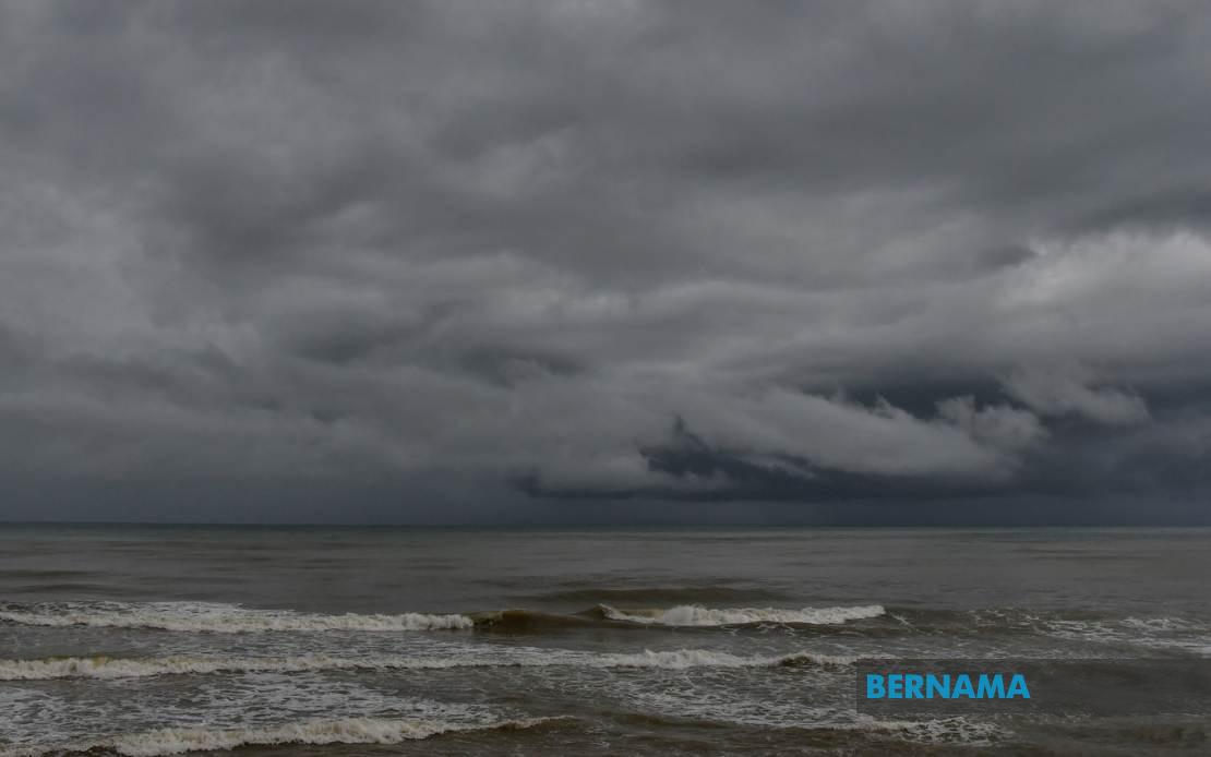
The Malaysian Meteorological Department (MetMalaysia) issued an urgent weather advisory on July 16 covering thunderstorms, heavy downpours, and strong winds expected to sweep across numerous regions until 9 pm that evening. The warning encompasses large swathes of Peninsular Malaysia alongside areas in Sabah, Sarawak, and the federal territory of Labuan, alerting residents and authorities to prepare for potentially disruptive weather conditions.
In Peninsular Malaysia's northern tier, Perlis faces the full brunt of the incoming system, while Kedah has multiple districts under alert. The affected areas in Kedah include Langkawi, Kubang Pasu, Padang Terap, Sik, Baling, Kulim, and Bandar Baharu—a significant portion of the state that encompasses both coastal and inland communities. These districts span the island of Langkawi and the mainland agricultural and urban zones, suggesting widespread disruption potential across the state's infrastructure and daily activities.
Perak's warning covers seven specific localities: Kerian, Larut and Matang, Selama, Hilir Perak, Batang Padang, and Muallim. This distribution indicates that the weather system affects both the state's western lowlands bordering Selangor and its interior regions. The diversity of affected zones suggests the thunderstorm belt is unusually broad, potentially originating from a substantial weather formation moving across the Strait of Malacca.
In the Klang Valley region, Kuala Lumpur faces the warning alongside portions of Selangor. The Selangor districts flagged—Sabak Bernam, Kuala Selangor, Hulu Selangor, Klang, Gombak, and Petaling—represent both the state's coastal northern areas and its densely populated central regions. Given that Petaling and Gombak encompass Subang, Shah Alam, and surrounding sprawling suburbs, the warning carries significant implications for millions of residents in Malaysia's most urbanised corridor. Commuters, students, and office workers would likely experience disrupted transport, while the commercial sector faces potential operational challenges.
Southern Peninsular Malaysia also faces the threat, with Johor's Kulai and Johor Bahru districts placed on alert. Although only two districts are mentioned, they represent critical economic and population centres. Johor Bahru, as the state capital and a major commercial hub with significant cross-border connectivity to Singapore, would face particular vulnerability to weather-induced shutdowns. Flooding in this region affects not only local commerce but also regional supply chains and bilateral trade flows.
In Sabah, the warning extends across the Interior division, the entire West Coast region comprising Papar, Putatan, Penampang, Kota Kinabalu, Tuaran, and Ranau, as well as sections of Sandakan division. The West Coast designation represents Sabah's most densely populated corridor, where Kota Kinabalu and its surrounding municipalities house the bulk of the state's urban population and economic activity. The Interior and Sandakan divisions, though less urbanised, contain significant agricultural, logging, and resource extraction operations that would be disrupted by heavy rainfall and electrical storms.
Sarawak's exposure includes three distinct areas: the Kapit division encompassing Kapit, Bukit Mabong, and Belaga; Miri; and Limbang. Kapit represents the state's interior heart, while Miri is a major petroleum and LNG hub on the northwest coast. Limbang, on the state's northern border with Brunei, completes the geographical spread. The diversity of these regions—from remote interior communities to the industrialised Miri coast—underscores the scale of the meteorological system affecting East Malaysia.
Thunderstorm and heavy rain warnings of this geographic scope typically indicate either a monsoon surge, a tropical low-pressure system, or an organised convergence zone. For Malaysian readers, such events are familiar during the southwest and northeast monsoon periods, though the specific pattern here affects multiple regions simultaneously across different monsoon zones. This simultaneity suggests a particularly robust atmospheric setup, potentially involving upper-level dynamics that create widespread triggering of convection.
The practical implications for residents include heightened flood risk in low-lying areas and urban drainage systems already stressed by rapid urbanisation. Lightning hazards mean outdoor activities, particularly water-based recreation and construction work, carry elevated danger. Transport disruptions are probable, with visibility reduced by heavy rain and potential flooding on roads cutting access to schools, workplaces, and services. For agricultural regions in Kedah, Perak, and Sarawak, the rainfall may benefit dry-season crops but threatens harvest operations and infrastructure.
Emergency services across the affected states would typically heighten readiness during such warnings, positioning rescue teams and ensuring drainage systems are cleared. The concentration of warnings until 9 pm suggests the system's intensity is expected to peak in the late afternoon and early evening, coinciding with rush hour traffic in Klang Valley and other urban centres, potentially exacerbating congestion and accident risks.
Historically, warnings of this geographic extent often underestimate impact variability. While some areas receive the forecast heavy rain, others may experience lighter activity, creating false security in some zones while adjacent regions face flooding. Residents are advised to monitor real-time updates from MetMalaysia, as forecasters refine their understanding of the system's precise track and intensity as it develops.

