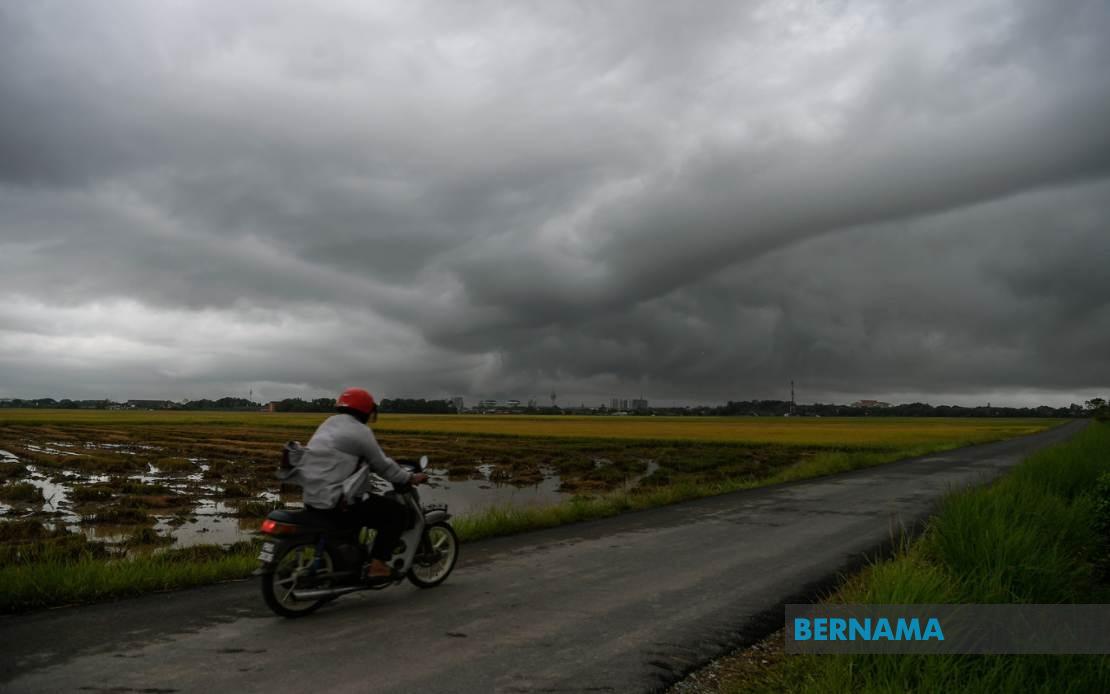
The Malaysian Meteorological Department has issued a widespread warning for thunderstorms and severe weather conditions affecting much of the nation until 9 pm today. The alert encompasses numerous districts across Peninsular Malaysia, East Malaysia and the Federal Territory of Labuan, signalling heightened atmospheric instability across the region.
In the northern peninsula, Kedah residents in Kuala Muda, Baling, Kulim and Bandar Baharu should expect intense weather. The adjacent state of Penang faces similar threats affecting the Northeast district, with all three Seberang Perai divisions — Utara, Tengah and Selatan — also in the warning zone. The warning reflects the monsoon patterns typical for this time of year, when convective activity intensifies across northwestern Malaysia.
Perak's extensive list of affected areas reveals the geographic breadth of the system. Kerian, Larut, Matang and Selama face the threat, as do Hulu Perak, Kuala Kangsar, Kinta, Kampar and Batang Padang. The entire state of Kelantan has been placed under alert, indicating particularly unstable conditions in that region. Across the South China Sea-facing coast, Terengganu's vulnerable districts include Besut, Hulu Terengganu, Kuala Terengganu, Marang, Dungan and Kemaman.
The central peninsula is equally affected. Pahang's alert covers Cameron Highlands at elevation, along with lowland districts Lipis, Jerantut, Kuantan, Pekan and Rompin. In the south, Johor faces threats across a substantial portion of the state, with Tangkak, Segamat, Muar, Kluang, Mersing, Kulai, Kota Tinggi and Johor Bahru all potentially experiencing severe weather. Such widespread coverage in Johor, which encompasses agricultural and industrial zones, carries implications for economic activity and daily operations.
East Malaysia has not been spared. Sarawak's warning encompasses the populous Sibu division, the mid-range coastal zones of Mukah incorporating Matu, Dalat and Mukah itself, and the interior's Kapit division centred on Song. Bintulu's Tatau area joins Miri's districts of Beluru, Miri and Marudi in the alert zone. These disparate locations suggest the system is generating convective cells across multiple atmospheric layers and geographic contexts.
Sabah's Interior Division faces significant risk. Sipitang, Kuala Penyu, Beaufort and Tambunan all lie within the warning area. The West Coast Division experiences equal concern, with Papar, Penampang and Ranau flagged for potential severe conditions. The Federal Territory of Labuan, positioned strategically in the Brunei Bay, completes the geographic scope of the advisory.
Thunderstorm warnings carry serious implications for residents and infrastructure. Heavy downpours can trigger flash floods in low-lying areas and flood-prone districts, while strong winds pose hazards to loose structures, outdoor activities and maritime operations. The warning period extending until 9 pm suggests MetMalaysia expects these conditions to persist through the afternoon and early evening hours, when many people remain outdoors or in transit.
For residents and businesses across affected areas, the advisory necessitates precautionary measures. Commuters should anticipate potential transport disruptions, particularly in states with extensive road networks dependent on clear conditions. Those in agriculture-dependent regions should secure outdoor equipment and livestock. Boaters and maritime workers should avoid operations where possible during the alert period.
The geographic breadth of this warning — spanning from Kedah in the north to Johor in the south, encompassing both peninsular and East Malaysian territories — indicates a significant atmospheric system. Such coordinated warnings across such vast distances reflect the sophisticated monitoring capabilities of MetMalaysia and the dynamic tropical weather patterns characteristic of July, when Southwest Monsoon conditions can generate localised severe convection despite the broader seasonal wind pattern.
Public awareness of such warnings remains crucial. MetMalaysia's timely dissemination allows households, businesses and government agencies to implement protective measures ahead of the most dangerous hours. The specific timing until 9 pm provides a defined window for preparations and activity adjustments throughout the affected regions.
Residents should remain alert for official updates from MetMalaysia and local authorities, as weather systems can intensify or develop unexpectedly. Keeping communication devices charged and remaining tuned to official weather broadcasts represents prudent preparation. Avoiding unnecessary outdoor activities and securing property against potential wind damage form essential precautions during the alert period.

