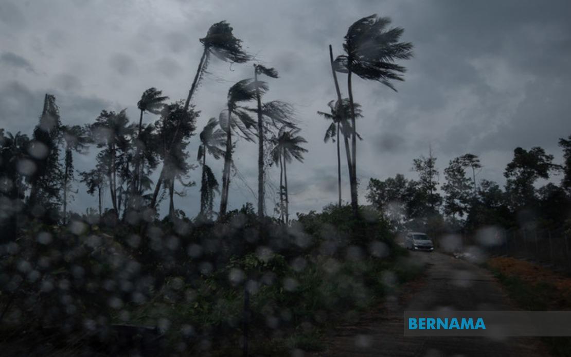
The Malaysian Meteorological Department has put out an urgent weather warning covering a substantial swathe of the country, alerting residents across Peninsular Malaysia, Sabah and Sarawak to prepare for severe thunderstorms, intense rainfall and powerful gusts of wind until 6 pm today. The advisory highlights the need for immediate precautions in affected communities, particularly those in low-lying areas prone to flash flooding and exposed regions vulnerable to wind damage.
The warning encompasses a significant portion of the northern peninsula, where Kedah's Langkawi islands face incoming weather disturbances. The state of Perak experiences the broadest coverage under this alert, with multiple districts including Kinta, Perak Tengah, Kampar, Hilir Perak, Batang Padang and Muallim all placed on heightened alert. The eastern seaboard has similarly extensive exposure to the incoming system, with nine districts across Kelantan—Tumpat, Pasir Mas, Kota Bharu, Jeli, Tanah Merah, Bachok, Machang, Pasir Puteh and Kuala Krai—listed in the advisory.
Terengganu's central and eastern zones have also been flagged, with the meteorological agency highlighting Besut, Setiu, Kuala Nerus and Kemaman as vulnerable areas. This eastern coast concentration suggests the weather system is likely to intensify over the South China Sea before making landfall, bringing moisture-laden conditions to these exposed regions. The timing during early evening hours means commuters and outdoor workers should exercise heightened caution during what would normally be the tail end of the working day.
The central peninsula similarly faces considerable disruption, with Pahang's extensive highland and lowland districts—Cameron Highlands, Lipis, Raub, Bentong, Temerloh, Kuantan, Bera, Pekan and Rompin—placed under warning. This spread across Pahang's geography, from its elevated interior regions to its coastal areas, indicates the weather system's broad geographical influence. Selangor's Hulu Selangor and Gombak divisions have also been included, suggesting the disturbance may move inland and affect the greater Kuala Lumpur conurbation.
Southern Peninsular Malaysia has not been spared from the advisory, with Negeri Sembilan's Jempol and Tampin districts included in the warning. Johor experiences similarly comprehensive coverage, with Tangkak, Segamat, Kluang, Mersing and Kota Tinggi all identified as areas where residents should expect severe conditions. The southern state's extensive list suggests the weather system may have considerable southward extent, potentially affecting transportation along major north-south corridors and disrupting commercial activities in the region.
East Malaysian states face their own weather challenges under this same advisory. In Sabah, the Interior Division districts of Sipitang, Tenom, Beaufort, Keningau and Tambunan have been placed on alert, whilst the West Coast zone—comprising Papar, Putatan, Penampang, Kota Kinabalu and Tuaran—faces similar warnings. The state capital Kota Kinabalu's inclusion underscores the potential for significant urban impacts. Lahad Datu in Tawau and Kinabatangan in Sandakan represent coverage across Sabah's eastern expanse, demonstrating the system's far-reaching extent across the state.
Sarawak experiences more localized warnings, though no less important for affected residents. The alert covers Tatau and Sebauh in Bintulu Division, extending northward to Subis in Miri and further to Limbang. This distribution suggests the weather system may be positioned over the South China Sea with particular influence over Sarawak's northern and central coastal regions, where maritime activities and transport connections may face disruption.
The concentration of alerts across Malaysia's eastern seaboard and interior highland regions suggests a classic pattern for the region's inter-monsoon periods, when atmospheric instability combines with moisture convergence to generate severe convective weather. The breadth of the advisory—spanning from Langkawi in the northwest to Limbang in the northeast—indicates a substantial weather system capable of affecting multiple regions simultaneously. For residents and businesses across the affected areas, the timing until 6 pm provides a defined window for protective measures, though the intensity of thunderstorms and rainfall during peak afternoon hours warrants careful attention to rapidly developing conditions.
The inclusion of both urban centers like Kota Kinabalu and Kota Bharu alongside rural highland regions reflects the indiscriminate nature of such weather systems. Infrastructure in these areas—from drainage systems to power networks—may face strain from intense rainfall and strong winds, potentially affecting water supply, electricity distribution and transportation networks. The meteorological department's decision to issue this specific timebound alert suggests confidence in the system's movement and dissipation patterns, though residents should remain attentive to any updates or extensions to the advisory as conditions develop throughout the afternoon.

