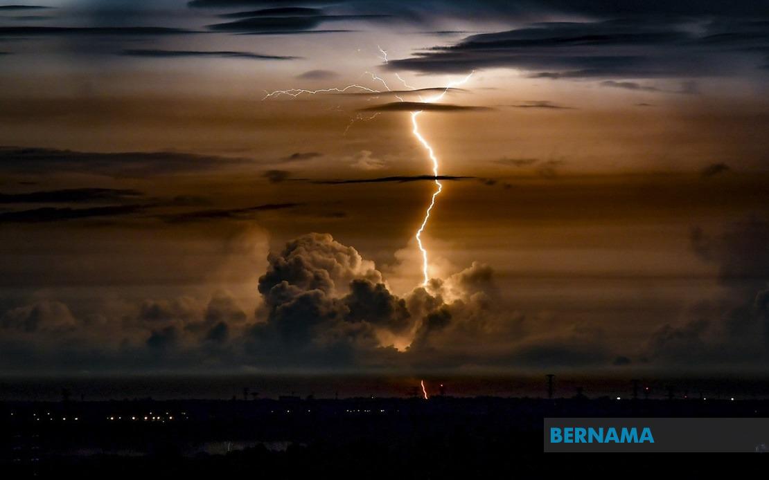
A significant band of severe weather is set to sweep across Malaysia tonight, with the Malaysian Meteorological Department warning residents in eight states and the federal capital to prepare for thunderstorms, torrential downpours and strong winds lasting until 9pm. The alert, issued on the evening of July 6, underscores the volatile atmospheric conditions currently affecting much of the country as the monsoon season continues to generate unstable weather patterns across the region.
Peninsular Malaysia bears the brunt of tonight's expected deluge, with five states facing the adverse conditions. In Perak, six districts have been flagged as vulnerable: Hulu Perak, Kuala Kangsar, Kinta, Kampar, Batang Padang and Mualim are all expected to experience the full force of the system. The duration of these conditions remains relatively short, suggesting a quick-moving weather front rather than a prolonged wet spell, though the intensity during the evening peak hours warrants caution among commuters and those working late shifts.
Kelantan's east coast districts are similarly positioned in the path of the storm system, with Jeli and Kuala Krai identified as particular hotspots. These areas, already familiar with seasonal flooding during wet periods, will require heightened vigilance as the combination of heavy rainfall and strong winds could complicate drainage patterns and create hazardous conditions on regional roads. Pahang's highland and eastern communities face comparable threats, with Cameron Highlands, Raub, Bentong and Rompin all listed in the warning zone, bringing weather risks to both tourist areas and rubber plantation regions.
Selangor, the nation's most densely populated state, experiences perhaps the greatest exposure given its concentration of urban infrastructure and commuter networks. Seven districts spanning from coastal areas to interior valleys—Sabak Bernam, Kuala Selangor, Hulu Selangor, Klang, Gombak, Petaling and Hulu Langat—fall within the affected zone. The warning encompasses suburbs and commercial hubs that funnel millions of workers daily, suggesting potential traffic complications and transport delays as the evening commute coincides with peak weather activity. Negeri Sembilan's Seremban and Jelebu districts round out the peninsular coverage, whilst Johor's six affected areas—Segamat, Kluang, Mersing, Kulai, Kota Tinggi and Johor Bahru—extend the weather system southward toward Malaysia's easternmost settlements.
Beyond the peninsula, Sarawak faces concurrent weather challenges, with six distinct zones expected to be impacted. The affected regions span from the downriver communities of Sri Aman through the central uplands around Kapit and the northern reaches encompassing Miri and Limbang. Sibu, one of Sarawak's major urban centres, figures prominently in the warning, as do Bintulu's coastal districts and the interior zones of Song. This geographic spread indicates a weather system of considerable lateral extent, affecting both population centres and relatively remote settlements simultaneously.
Sabah's warnings similarly cover the state's entire geographic breadth, from the west coast highlands around Ranau to the interior regions of Tenom, Beaufort and Tambunan. The eastern divisions—including Tawau, Sandakan with its four constituent districts, and Kudat's Kota Marudu area—are equally exposed. The simultaneous alerting of Malaysia's two largest states on Borneo suggests a weather system of regional proportions, likely connected to broader atmospheric disturbances affecting the wider Southeast Asian maritime zone during this period of the year.
The timing of this weather system carries particular significance for Malaysian residents and businesses. By striking during evening hours, the storms risk disrupting the critical daily commute window when millions of vehicles crowd roads and highways. Public transport operators and highway authorities may face capacity challenges as commuters seek shelter from the elements, whilst outdoor construction sites and industrial operations conducting evening shifts must implement immediate safety protocols. The convergence of rush-hour traffic patterns with severe weather creates a compounded risk environment that extends beyond purely meteorological concerns into transport safety and public well-being.
The Malaysian Meteorological Department's specificity in identifying affected districts reflects an increasingly granular approach to weather forecasting, moving beyond state-level warnings toward micro-geographic precision. This permits targeted public advisories and enables local authorities, emergency services, and municipal governments to concentrate resources where they are most likely needed. Such refinement in forecasting communication has become standard practice in Malaysian meteorology, drawing on advanced radar technology and computer modelling systems that detect atmospheric features with remarkable accuracy hours in advance.
Residents in the identified zones are advised to exercise heightened caution and monitor official weather updates throughout the evening. The combination of heavy rain and strong winds poses particular dangers to those in exposed locations, whilst flooding remains a realistic concern in low-lying areas and drainage-prone districts. Drivers should expect reduced visibility and slippery road conditions, making slower speeds and increased following distances essential safety measures. Meanwhile, loose outdoor objects and unsecured structures warrant securing or bringing indoors, as strong gusts could create projectile hazards during the peak storm period.

